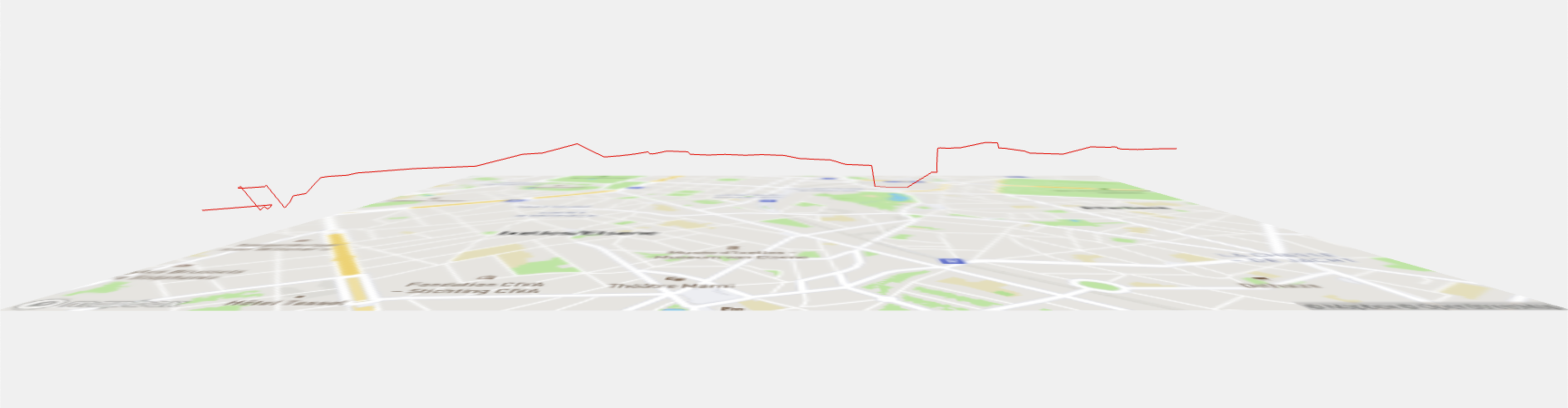
Little imperfect experiment of yesterday night: visualizing one of my bike route in 3D to see elevation. This uses three.js, OpenStreetmap for the route and https://open-elevation.com/ for the elevation.
The end goal will be to have all the options that I use to go to the office with the corresponding amount of required energy associated.
(drag or pinch to rotate/zoom)
Mainly programmed with Gemini Code Assist, this is part of the experiment.